Remote Sensing & Crowdsourcing: Revolutionizing the Way We Protect Our Planet
Chris Rehak
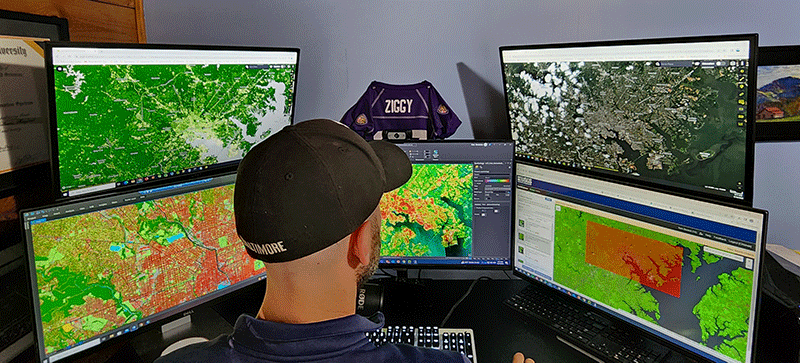
Remote Sensing: A Bird’s-Eye View
Remote sensing involves the process of detecting and monitoring physical characteristics of an area from a distance by measuring its reflected and emitted radiation. Often utilizing satellites, drones, or other aerial platforms, this technology has revolutionized our ability to monitor and understand the natural world.
Satellites
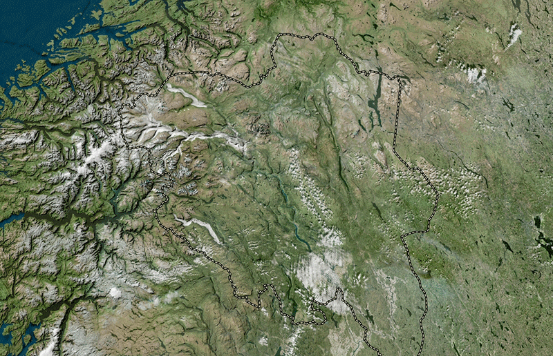
The history of remote sensing using satellites can be tracked back to the Apollo program of the 1960s, when test missions were flown to take photographs of the earth’s surface. This led to the creation of NASA’s Landsat program in the early 1970s and the launch of Landsat 1, the first Earth-observing satellite to be launched specifically to study and monitor our Earth’s landmasses, in 1972. The goal of the Landsat program was to gather facts about the earth’s surface and monitor natural resources. Fast forward to 2023. We now have over 50 years of Earth observation data to provide a better understanding of natural processes, ecosystem functionality, and the impacts of natural and man-made stressors. Technological advancements over that time have led to the development of sensors that can detect more detailed information, and satellites have become smaller and more cost effective to launch. This has resulted in more innovation and growth in both the public and private sectors and an overall benefit to the potential for conservation and restoration applications.
These technological improvements, combined with progress towards open and publicly available data, have made remote sensing applications invaluable to conservation and restoration professionals. A glimpse into a mere handful of satellite remote sensing use cases helps provide a sense of the technology’s impact on conservation and restoration.
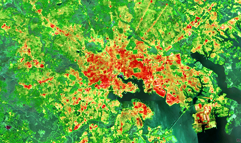
Habitat Mapping: Remote sensing allows for the accurate mapping of terrestrial and aquatic habitats. It provides crucial information about the distribution of species, helping conservationists identify critical areas for protection and restoration. This can range from the identification of interior forest habitat for connectivity modeling to tree canopy identification in an urban setting to assist planning efforts for reducing the impacts of heat islands.
Deforestation Detection: Satellite imagery can monitor deforestation in real-time, enabling rapid response to illegal logging and land clearance. This has been instrumental in preserving vital rainforests and mitigating climate change.
Climate Change Research: Remote sensing data assists in tracking changes in temperature, precipitation, and sea levels. It contributes to climate change research by providing essential data for modeling and predicting its impacts on ecosystems.
Ecosystem Processes: Satellite imagery can help enhance understanding of how ecosystems respond to stressors, both natural and man-made. High temporal and spatial resolution provide scientists with the ability to monitor impacts to natural systems as well as determine trends and changes over time, such as marsh migration in relation to sea level rise.
Ecosystem Services: Satellite imagery has provided the ability to quantify the benefits of natural and healthy ecosystems. These services can include clean water, clean air, access to food, carbon sequestration, pollinators, and many others.
Water Resource Management: Satellite imagery can monitor changes in water bodies, water quality, and water distribution. It aids in the management of water resources, including the provision of clean drinking water, flood prevention, and irrigation for agriculture.
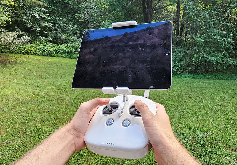
Drones
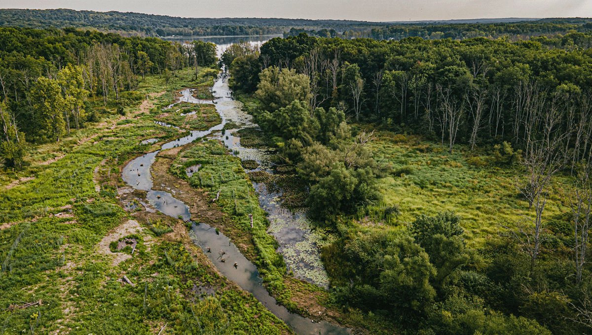
Remote sensing using drones is a relatively new technology in the field of conservation and restoration, but it has quickly gained traction. One of the main benefits of drone technology is its ability to provide high-resolution imagery that is impossible to obtain through satellites. When used at small scales, this information is invaluable, as it provides important details about an area. Drones are also a cost-efficient alternative to fixed-wing aircraft.
Advancements in available sensors for drones have provided the ability to collect multispectral data for vegetation health monitoring, thermal imaging to detect hotspots in wildland fires, and LiDAR sensors to collect high density point clouds of the ground surface. Some drones are equipped with high resolution zoom cameras, providing the ability to monitor wildlife in remote locations from a safe distance.
These new technologies have benefited conservation and restoration by providing cost-effective tools for scientists to gather data efficiently, which can lead to faster and more informed decision making. Here are just a few examples of the ways in which drones are advancing conservation and restoration.

Environmental Monitoring: Drones can be used to conduct surveys of forests, wetlands, and other habitats. This information can be used to assess the health of ecosystems and to identify areas that need protection. Additional sensors can provide multispectral imagery, allowing for the detection of vegetation health and monitoring.
Wildlife Monitoring: Through thermal imaging and high-resolution cameras mounted on drones, researchers can monitor wildlife populations without disturbing them. This technology aids in the conservation of endangered species by providing valuable insights into their behavior and habitat usage.
Reforestation: Drones have been utilized to reforest large tracts of land by dropping and embedding seeds in the soil from a drone. The speed at which the drones can plant seeds provides an immediate benefit by improving the rate at which large areas of land can be reforested.
High Resolution Mapping: This one is a given, but drones provide the ability to map small areas at a very high resolution. This allows conservation and restoration goals and objectives to be visualized more clearly without requiring extensive on-the-ground field assessments. The ability to map a project area quickly and accurately in high resolution provides access to valuable information for scientists.
Crowdsourcing: Engaging the Global Community
Crowdsourcing technology leverages the collective inputs and efforts of people worldwide to solve complex problems. The applications for this technology are expansive but the general idea is a targeted approach towards gathering data from the community at large to observe patterns, extract information, and solve problems.
In conservation and restoration, crowdsourcing has brought about numerous positive changes and provided scientists with large datasets to leverage in researching species migration trends, rare-threatened and endangered species, and critical habitat areas.
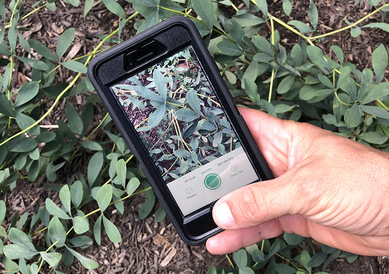
Biodiversity Data Collection Crowdsourcing platforms like iNaturalist, eBird, and Merlin have enabled all kinds of people to contribute valuable data on species distribution and behavior. This democratizes data collection and significantly increases the volume and coverage of biodiversity studies.
Invasive Species Monitoring: Volunteers can report sightings of invasive species through dedicated apps and websites. This can help early-warning systems alert authorities so they can respond quickly to prevent the spread of harmful species.
Poaching and Illegal Activity Reporting: Apps allow individuals to report wildlife crimes, including poaching and trafficking. This helps law enforcement agencies combat illegal activities more effectively.
Habitat Restoration: Crowdsourcing platforms facilitate community engagement in habitat restoration projects. Volunteers can participate in tree planting, wetland restoration, and other conservation efforts, fostering a sense of ownership and environmental stewardship.
Stewardship and Education: Crowdsourcing applications are often the center of “Bio Blitzes” and community nature events and provide an educational foundation for environmental stewardship. Applications such as Seek by iNaturalist create interactive challenges and scores to encourage users to observe species and learn. This will help to inspire and foster the next generation of conservationists.
Future Potential
Future innovations in remote sensing will provide enhancements to spatial, temporal, and spectral resolution and allow for the development of more applications that will benefit conservation and restoration. These improvements will provide a tremendous boost to the earth observation capabilities of researchers and professionals. The capabilities of drones to serve cost-efficient alternatives for high resolution data collection and monitoring will also continue to advance. The ability to fly automated and hands-free missions already exist, and these capabilities will continue to improve and make data collection more efficient for end users.
The ongoing integration of artificial intelligence, machine learning, and big data analytics with remote sensing and crowdsourcing will further enhance our ability to monitor and protect the planet’s natural resources. These technologies will empower individuals, communities, organizations, and governments to have a significant role in preserving our environment and fostering stewardship.
